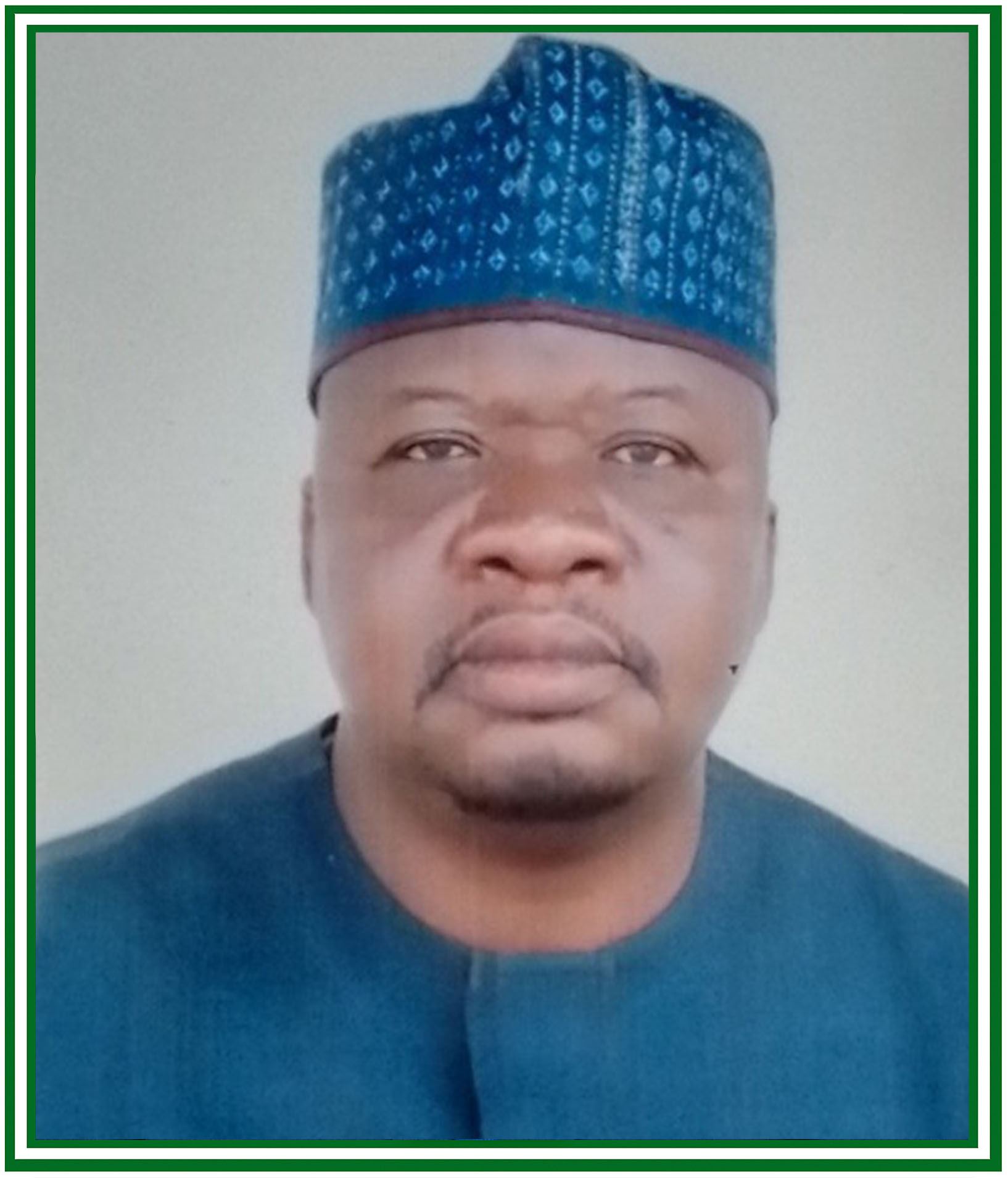
Qudus Olatunji Taiwo Coordinator of the Zonal Advanced Space Technology Applications Laboratory in Kano State, Nigeria, has over two decades of experience in space technology research and development. He has collaborated with various governmental and inter-governmental organizations, donors, and international NGOs both within Nigeria and globally.
In 2007, Qudus served as a research fellow at the Indian Institute of Remote Sensing and has received specialized training at the South Africa Remote Sensing Center and the Scanex Research and Development Centre in Russia. Currently, he heads the Satellite Ground Receiving Station at the National Centre for Remote Sensing, where he is responsible for acquiring medium-resolution, real-time satellite images from space that cover one-third of the African continent.
His impressive portfolio includes numerous completed national projects, such as:
- National Land Use/Landcover Mapping of Nigeria using NigeriaSat-1 images
- Development of a Predictive Model for Desertification in North-Eastern Nigeria using remote sensing and GIS techniques with Landsat ETM, MSS, and TM images
- Assessment of Deforestation in Nigeria’s forest reserves using Landsat ETM and TM images
- Digital Mapping and Database Creation for mineral deposits in Nigeria
- Development of the Land Information System for the Federal Capital, Abuja
- Application of GIS Techniques in rice production in Benue State
- Cassava Yield Prediction Project in collaboration with IITA, Ibadan, the Ministry of Agriculture, and NCRS, Jos.
Qudus is also involved in ongoing projects such as the Development of a Web-Based GIS for Health Facilities Management in Nigeria and a study on Investigating and Analyzing Sahelian Dust in Nigeria (2000-2020) and its impact on the environment and biomass using remote sensing satellite technology, for which he is the principal investigator.
His recent research includes:
- “A New Framework Using Deep Auto-Encoder for Classification of Cancer Using Time Series Gene Expression Data” (2019)
- “A Deep Learning Approach for Detecting Face Masks with Focus on YOLO Network for Combating the Spread of COVID-19” (2020)
- “Development of Object-Oriented Bare Surface Feature Extraction Algorithm for Desertification Early Warning Using NigeriaSat-2 High Resolution Imagery Data” (2023)
Additionally, he is a contributing author to the research book “Assessment of Deforestation of Nigeria Forest Reserves Using Landsat ETM and TM Images” (2005). Qudus Olatunji Taiwo’s contributions to the field of remote sensing and space technology highlight his commitment to advancing knowledge and addressing critical environmental challenges in Nigeria and beyond.


