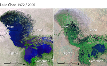
Forest and its resources play an essential role in the sustenance of millions of people around the world; they depend on forests for their livelihood and shelter. In spite of the importance of this earth’s veritable resource, Man’s exploitation and use of it has led to its depletion but not without some consequence. The rapid depletion of forest and forest resources through deforestation has also resulted to loss of farm land, reduced income that negatively has affected the socio-economic wellbeing of the people. Massive awareness campaigns aimed at making the people know the importance of forest is surely a way of slowing down the rate of deforestation.
This work evaluated deforestation in Federal Capital Territory Forest reserve with land use/land cover change for a period of 31 years. Land Use Land Cover (LULC) change detection based on remote sensing data is an important source of information for various decision support systems. Information derived from land use and land cover change detection is important to land conservation, sustainable development, and management of forest reserve. The purpose of this study is therefore concerned with identifying the change in land use and land cover detection of the Federal Capital Territory Forest reserve.
ERDAS Imagine, IDRISI Selva and ArcGIS software were used to classify and identify the changes. The classification was done using five land cover classes (forest, cropland, water bodies, bare surface and settlement). Preprocessing and classification of the images were analysed carefully and accuracy assessment was tested separately using the kappa coefficient. The results showed that overall accuracy of Federal Capital Territory for the years 1990, 2001, 2013 and 2021 are not less than 82%. This study indicated that in the last 31 years, some forest reserves had reduced significantly due to development while some forest reserve increased significantly from 2013 to 2021 due to insecurity in the area. Prediction analysis showed that if measures are not put in place to some of the forest reserves, they will disappear and if this happens there would be serious climate change as more carbon are releasing to the atmosphere.
This study showed that remote sensing and GIS for forest quantification analysis of multiple forests areas of this present investigation is feasible with satellite remote sensing as opposed to time-consuming and expensive ground surveys as alternative.
Forests have declined, while cultivated land and artificial surfaces have increased in the area, and deforestation appears to be more pronounced in the Tukoki and Maje-abuchi forest reserve. Severe deforestation in Tukoki forest reserve appears to be strongly linked to increased soil erosion as a result of land use and land cover change. Notable drivers for LUCC include rapid population growth and macroeconomic activities occurring in Federal Capital Territory especially in the part of Kuje Area Council, and poor national policies that have failed to effectively enforce ban of uncontrolled harvesting of forest resources. It shows that remote sensing and GIS for forest quantification analysis of multiple forests areas of this present investigation is feasible with satellite remote sensing as opposed to time-consuming and expensive ground surveys as alternative.
In summary, agriculture and clearing of forested land for food and wood products have been the main drivers of deforestation for millennia. This does not mean, however, that agriculture and land always cause deforestation; sustainable management is possible but not always practiced.